Tein onnistuneen, joskin tapahtumarikkaan reissun Ruotsiin tällä viikolla. Reitit tein...
Two subscription options:
Yearly 40€/year or Monthly 10€/month
Price includes routing in one country of your choice (Finland or Sweden, currently).
All countries (current and upcoming) available for additional 10€/year or 5€/month.
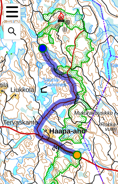
Routing knows _all_ roads in Finland and Sweden, from the large ones to the smallest possible. Official vehicle restrictions and gates in the topographic map are taken into account as well.

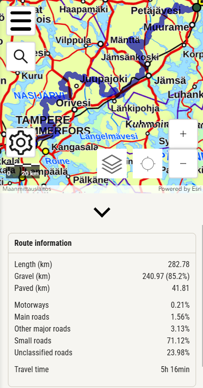
With just a couple of clicks gives you a route where the amount of gravel has been maximed (or set to your liking). Routing will also try to avoid private areas and farmyards.

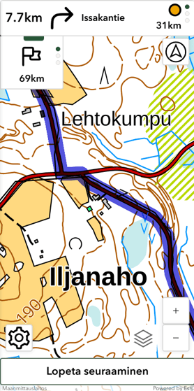
You can follow the track on mobile devices directly in the app, with turn-by-turn instructions, or download the track as GPX file to use on any device or application.
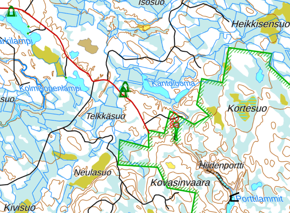
Topographic map's lean huts, huts, firepits are shown on the map - clearly visible from high up also for easier route planning. Petro station information from OpenStreetMaps is also visible.
A few thousand wild-camping spots have also been pre-calculated and are shown on the map (Finland only for now).

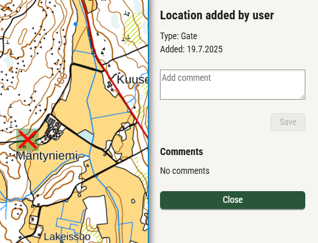
Any signed-in user can add locations like gates and restriction signs to the service, which are visible on the map to all users and which the routing also takes into account.